Skip to Main Content

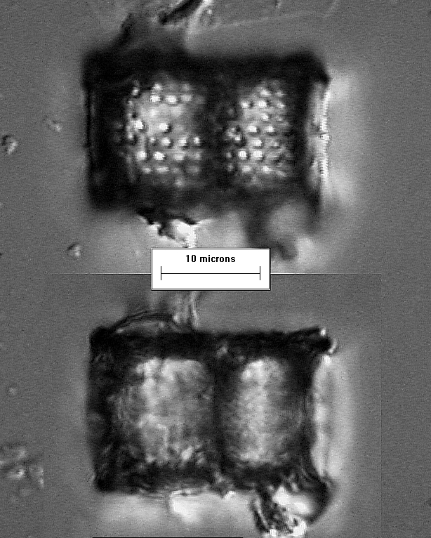
Welcome to the Diatom Image Database! The Periphyton Group at Florida International University created and maintains the Diatom Image Database, which includes over 980 diatom taxa found in the greater Everglades region of south Florida. Please send questions or comments about the Diatom Image Database to Franco Tobias .

Search the Diatom Image Database

View a list of all species

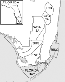
You can also click on one of labeled areas on the map to browse by location.
Map of south Florida Loxahatchee (LOX) WCA 2A WCA 3A Biscayne Bay Shark River Slough (SRS) Taylor Slough (TS) Florida Bay Everglades National Park (ENP) Everglades National Park (ENP)

Aulacoseira islandica

Aulacoseira islandica


Authority:
(O. Müller) Simonsen
Year:
1979
References:
Krammer, K. and Lange-Bertalot, H. (1991). Baccilariophyceae: Centrales, Fragilariaceae, Eunotiaceae. in: Süßwasserflora von Mitteleuropa (H. Ettl, J. Gerloff, H. Heynig & D. Mollenhauer, eds), 2(3), pp. 26-27; 274-275 [t.22:1-12]
Synonyms:
Melosira islandica O. Müll. 1906
Description:
cells are cylindrical, with flat, sometimes rounded-off edges; individuals may form chains of closely-connected individuals, using small connecting spines that can be seen under the light microscope; in girdle view, punctae appear in straight, parallel rows; valve surface is almost even; pseudosulcus is present, sulcus is a flat, incising furrow that is relatively narrow but is quite variable; 12-18 punctae in 10µm; diameter is 3-28µm, girdle breadth is 4-21µm
Projects:
  • Transect Project


  • Sample localities:
  • Water Conservation Area 2A (WCA 2A)